File:Wayne county map 1950.jpg
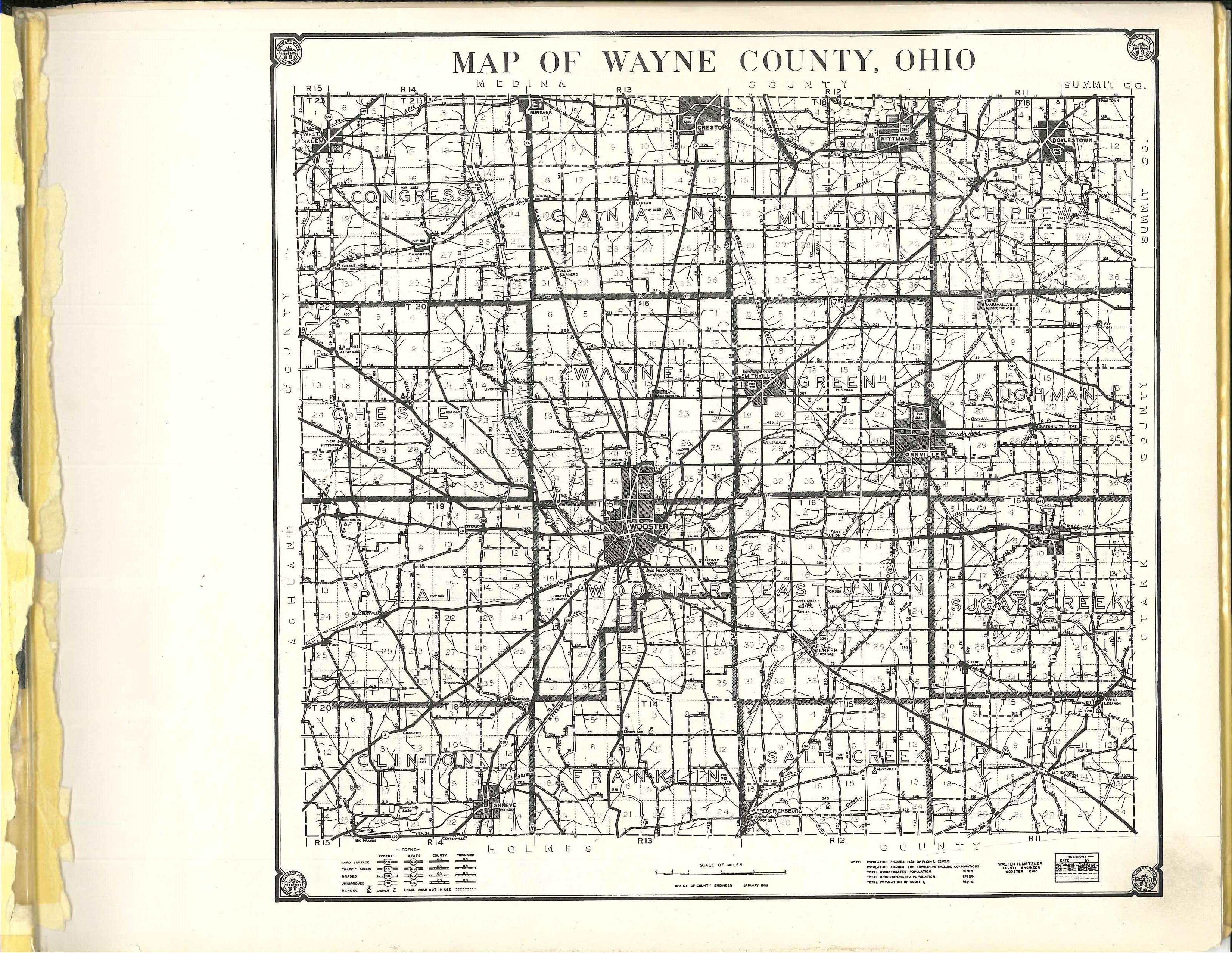
Revision as of 14:49, 10 February 2018 by Volunteer16 (talk | contribs) (This is a map of Wayne County published by the Hixon Map Company around 1950. It is scanned from the "Plat Book of Wayne County, Ohio," which can be found at the Wayne County Public Library Genealogy Department.)
Size of this preview: 775 × 599 pixels. Other resolutions: 310 × 240 pixels | 3,300 × 2,552 pixels.
Original file (3,300 × 2,552 pixels, file size: 2.48 MB, MIME type: image/jpeg)
This is a map of Wayne County published by the Hixon Map Company around 1950. It is scanned from the "Plat Book of Wayne County, Ohio," which can be found at the Wayne County Public Library Genealogy Department.
File history
Click on a date/time to view the file as it appeared at that time.
| Date/Time | Thumbnail | Dimensions | User | Comment | |
|---|---|---|---|---|---|
| current | 14:49, 10 February 2018 | | 3,300 × 2,552 (2.48 MB) | Volunteer16 (talk | contribs) | This is a map of Wayne County published by the Hixon Map Company around 1950. It is scanned from the "Plat Book of Wayne County, Ohio," which can be found at the Wayne County Public Library Genealogy Department. |
You cannot overwrite this file.
File usage
The following page uses this file: