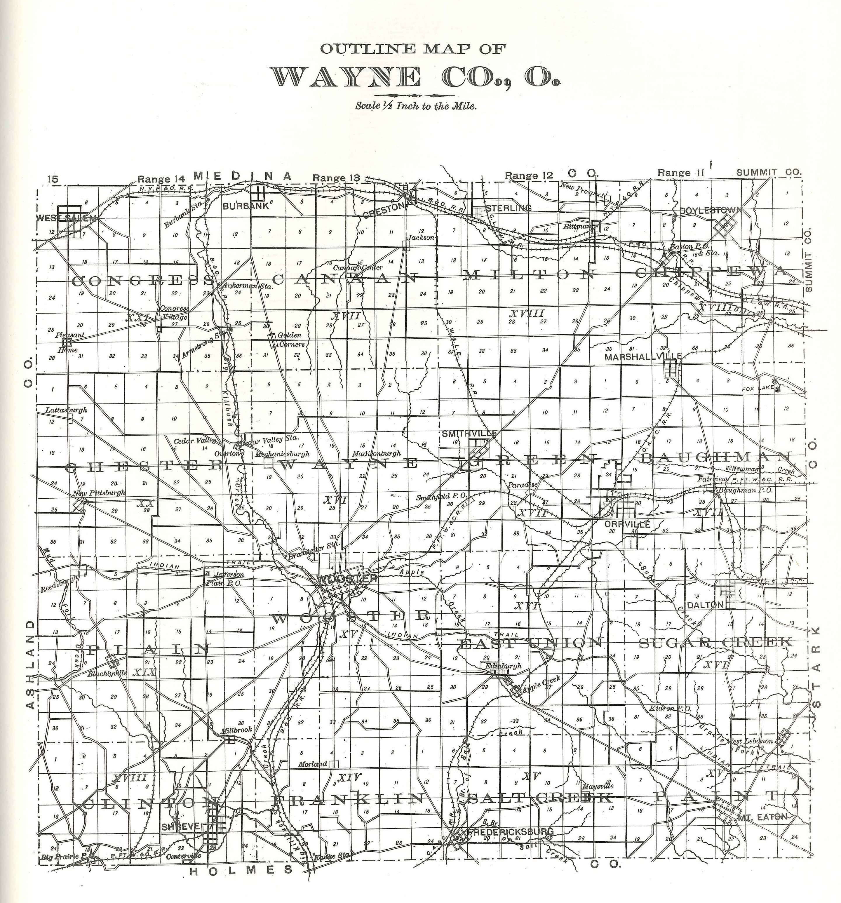
File:Wayne county map 1897.jpg
Revision as of 14:30, 10 February 2018 by Volunteer16 (talk | contribs) (This is a map of Wayne County commissioned by J.A. Caldwell in 1897. It has been scanned from a 1974 reproduction of the Atlas Publishing Company's 1897 "Atlas of Wayne County, Ohio" by Unigraphic, Inc.)
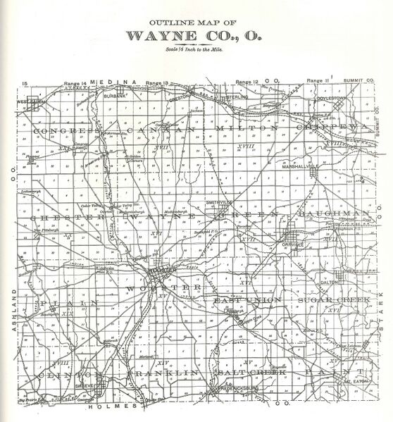
Size of this preview: 558 × 599 pixels. Other resolutions: 224 × 240 pixels | 2,881 × 3,093 pixels.
Original file (2,881 × 3,093 pixels, file size: 2.59 MB, MIME type: image/jpeg)
This is a map of Wayne County commissioned by J.A. Caldwell in 1897. It has been scanned from a 1974 reproduction of the Atlas Publishing Company's 1897 "Atlas of Wayne County, Ohio" by Unigraphic, Inc.
File history
Click on a date/time to view the file as it appeared at that time.
| Date/Time | Thumbnail | Dimensions | User | Comment | |
|---|---|---|---|---|---|
| current | 14:30, 10 February 2018 | | 2,881 × 3,093 (2.59 MB) | Volunteer16 (talk | contribs) | This is a map of Wayne County commissioned by J.A. Caldwell in 1897. It has been scanned from a 1974 reproduction of the Atlas Publishing Company's 1897 "Atlas of Wayne County, Ohio" by Unigraphic, Inc. |
You cannot overwrite this file.
File usage
The following page uses this file: