File:Wayne county map 1977 highlighted.png
Jump to navigation
Jump to search
Size of this preview: 621 × 599 pixels. Other resolutions: 249 × 240 pixels | 1,721 × 1,661 pixels.
Original file (1,721 × 1,661 pixels, file size: 3.65 MB, MIME type: image/png)
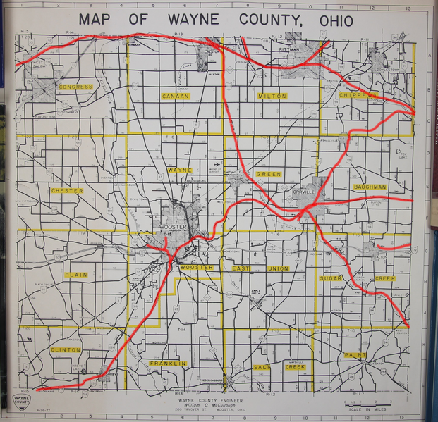
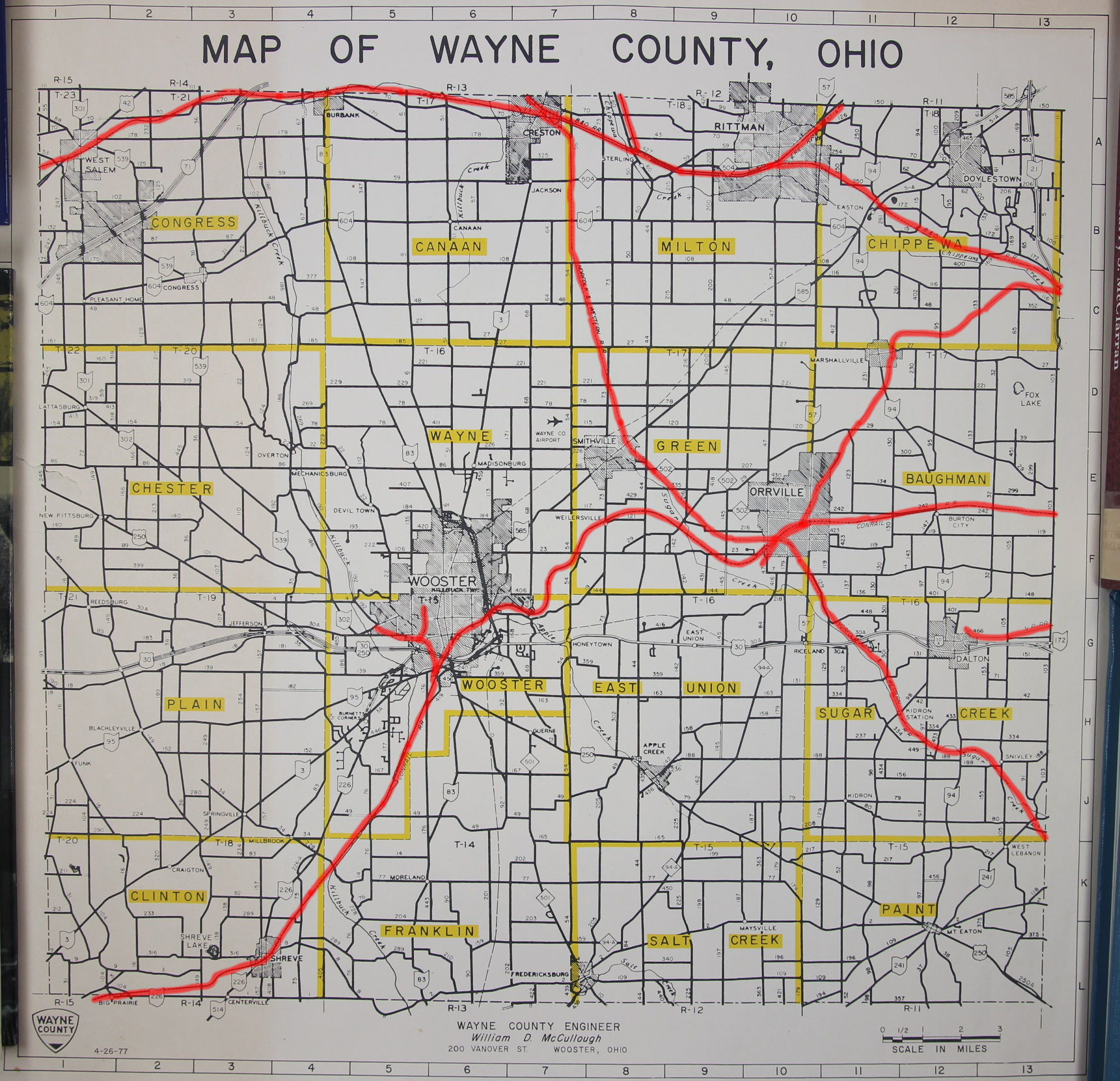
This is a modified version of William McCullough's 1977 map of Wayne County. The operational railroads have been highlighted in red. No other modifications have been made.
Modified in GIMP 2.8.2 by the Wayne County Public Library Genealogy Department.
File history
Click on a date/time to view the file as it appeared at that time.
| Date/Time | Thumbnail | Dimensions | User | Comment | |
|---|---|---|---|---|---|
| current | 15:03, 10 February 2018 | | 1,721 × 1,661 (3.65 MB) | Volunteer16 (talk | contribs) | This is a modified version of William McCullough's 1977 map of Wayne County. The operational railroads have been highlighted in red. No other modifications have been made. Modified in GIMP 2.8.2 by the Wayne County Public Library Genealogy Department. |
You cannot overwrite this file.
File usage
The following page uses this file: