File:PS 188485 map.jpg
Jump to navigation
Jump to search

Size of this preview: 800 × 600 pixels. Other resolutions: 320 × 240 pixels | 960 × 720 pixels.
Original file (960 × 720 pixels, file size: 58 KB, MIME type: image/jpeg)
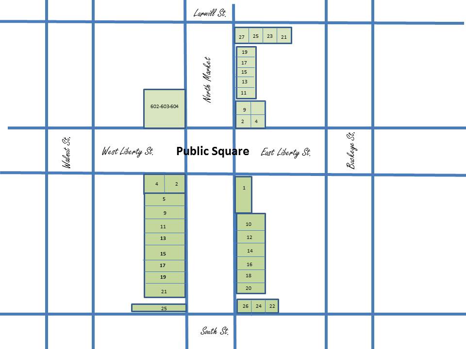
This map designed to show relative locations of businesses on Wooster's Public Square in the years 1884-1885. Numbers indicate the main floor businesses in each location that is listed in the text and the letters in text indicate businesses located on upper floors of listed building locations.
File history
Click on a date/time to view the file as it appeared at that time.
| Date/Time | Thumbnail | Dimensions | User | Comment | |
|---|---|---|---|---|---|
| current | 11:27, 14 March 2018 | | 960 × 720 (58 KB) | Volunteer8 (talk | contribs) | This map designed to show relative locations of businesses on Wooster's Public Square in the years 1884-1885. Numbers indicate the main floor businesses in each location that is listed in the text and the letters in text indicate businesses located on... |
You cannot overwrite this file.
File usage
The following file is a duplicate of this file (more details):
The following 2 pages use this file: