File:Eastern House-Sanborn Maps 1892.JPG
Jump to navigation
Jump to search


No higher resolution available.
Eastern_House-Sanborn_Maps_1892.JPG (639 × 569 pixels, file size: 83 KB, MIME type: image/jpeg)
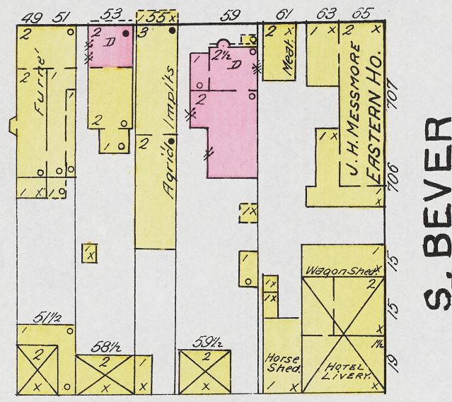
{{#vardefine: date|1892 }}{{#vardefine: stripped_fn
|Eastern House-Sanborn Maps 1892
}}<ul><li>"{{#var: date}}" contains an extrinsic dash or other characters that are invalid for a date interpretation.</li> <!--br--><li>"Error: Invalid time." contains an extrinsic dash or other characters that are invalid for a date interpretation.</li></ul>

Map
| Date | {{#var:date}} |
| Organization name | |
| Industry Sector |
|
| Year | 1892 |
| Publisher | Sanborn Map & Publishing Co. |
| Full text | J. H. Messmore, Proprietor |
File history
Click on a date/time to view the file as it appeared at that time.
| Date/Time | Dimensions | User | Comment | |
|---|---|---|---|---|
| current | 17:18, 17 April 2023 | 639 × 569 (83 KB) | Jyergin (talk | contribs) | Uploaded with SimpleBatchUpload |
You cannot overwrite this file.
File usage
The following 2 pages use this file: