File:Archer House-Sanborn Maps 1884.JPG
Jump to navigation
Jump to search


Size of this preview: 385 × 599 pixels. Other resolution: 459 × 714 pixels.
Original file (459 × 714 pixels, file size: 62 KB, MIME type: image/jpeg)
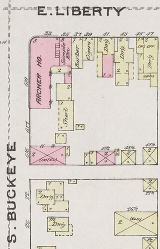
{{#vardefine: date|Aug 1884 }}{{#vardefine: stripped_fn
|Archer House-Sanborn Maps 1884
}}<ul><li>"{{#var: date}}" contains an extrinsic dash or other characters that are invalid for a date interpretation.</li> <!--br--><li>"Error: Invalid time." contains an extrinsic dash or other characters that are invalid for a date interpretation.</li></ul>

Map
| Date | {{#var:date}} |
| Organization name | |
| Industry Sector |
|
| Year | 1884 |
| Publisher | Kent State University Institutional Repository |
File history
Click on a date/time to view the file as it appeared at that time.
| Date/Time | Dimensions | User | Comment | |
|---|---|---|---|---|
| current | 18:11, 15 July 2022 | 459 × 714 (62 KB) | Jyergin (talk | contribs) |
You cannot overwrite this file.
File usage
The following 4 pages use this file: