File:Map 1950.jpg
Jump to navigation
Jump to search
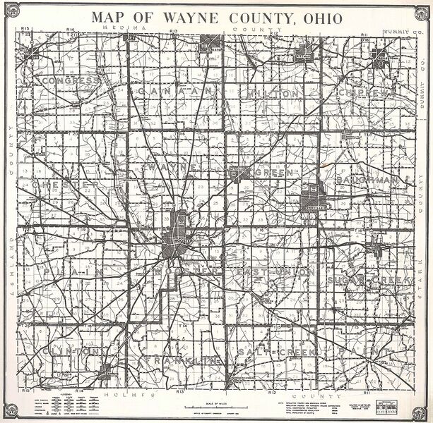
Size of this preview: 613 × 600 pixels. Other resolutions: 245 × 240 pixels | 1,210 × 1,184 pixels.
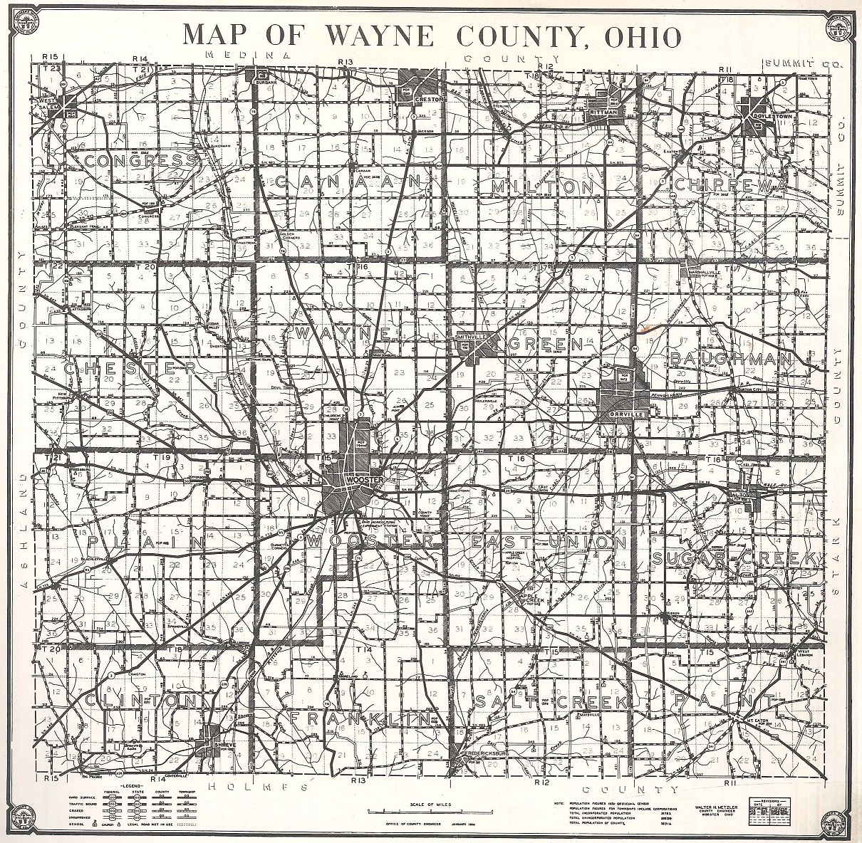
Original file (1,210 × 1,184 pixels, file size: 983 KB, MIME type: image/jpeg)
File history
Click on a date/time to view the file as it appeared at that time.
| Date/Time | Thumbnail | Dimensions | User | Comment | |
|---|---|---|---|---|---|
| current | 17:57, 11 May 2022 | | 1,210 × 1,184 (983 KB) | Dkitko (talk | contribs) |
You cannot overwrite this file.
File usage
The following page uses this file: