File:Wayne county map 1950 highlighted.png
Jump to navigation
Jump to search

Size of this preview: 775 × 599 pixels. Other resolutions: 310 × 240 pixels | 3,300 × 2,552 pixels.
Original file (3,300 × 2,552 pixels, file size: 9.7 MB, MIME type: image/png)
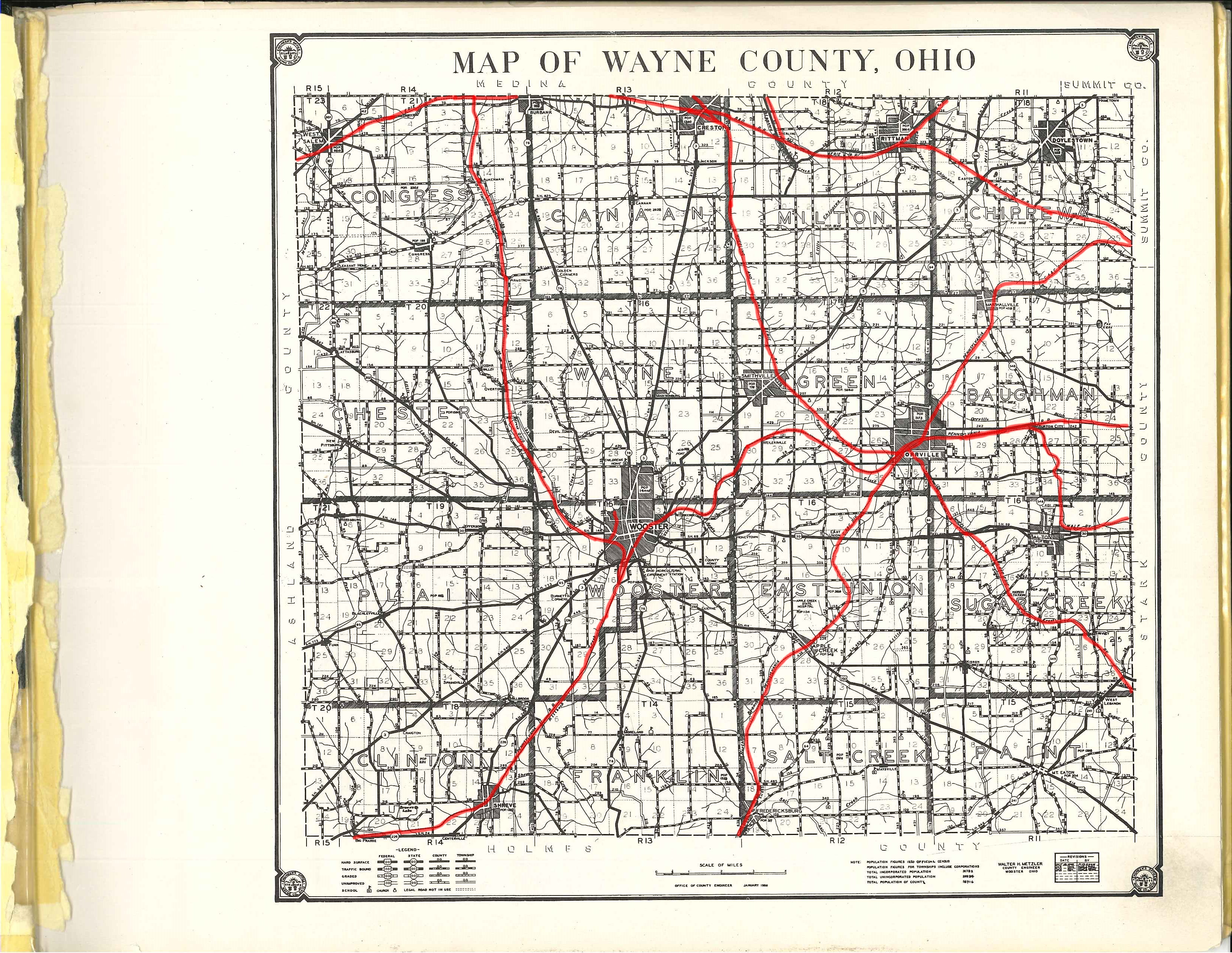
This is a modified version of Hixon Map Company's 1950* map of Wayne County. The operational railroads have been highlighted in red. No other modifcations have been made.
Modified in GIMP 2.8.2 by the Wayne County Public Library Genealogy Department.
- A date is listed at the bottom of this document; however, it is not legible. The date of 1950 was chosen because the map also lists the county population at the time of publication, which is very close to the county population in 1950. Additionally, the book has a handwritten label saying it is from 1950.
File history
Click on a date/time to view the file as it appeared at that time.
| Date/Time | Thumbnail | Dimensions | User | Comment | |
|---|---|---|---|---|---|
| current | 15:02, 10 February 2018 | | 3,300 × 2,552 (9.7 MB) | Volunteer16 (talk | contribs) | This is a modified version of Hixon Map Company's 1950* map of Wayne County. The operational railroads have been highlighted in red. No other modifcations have been made. Modified in GIMP 2.8.2 by the Wayne County Public Library Genealogy Department.... |
You cannot overwrite this file.
File usage
The following page uses this file: