File:USALandPatent-R13T15S25SWQRT.jpg
Jump to navigation
Jump to search
Size of this preview: 800 × 513 pixels. Other resolutions: 320 × 205 pixels | 2,781 × 1,782 pixels.
Original file (2,781 × 1,782 pixels, file size: 2.62 MB, MIME type: image/jpeg)
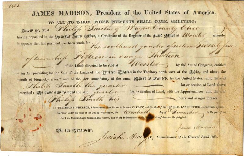
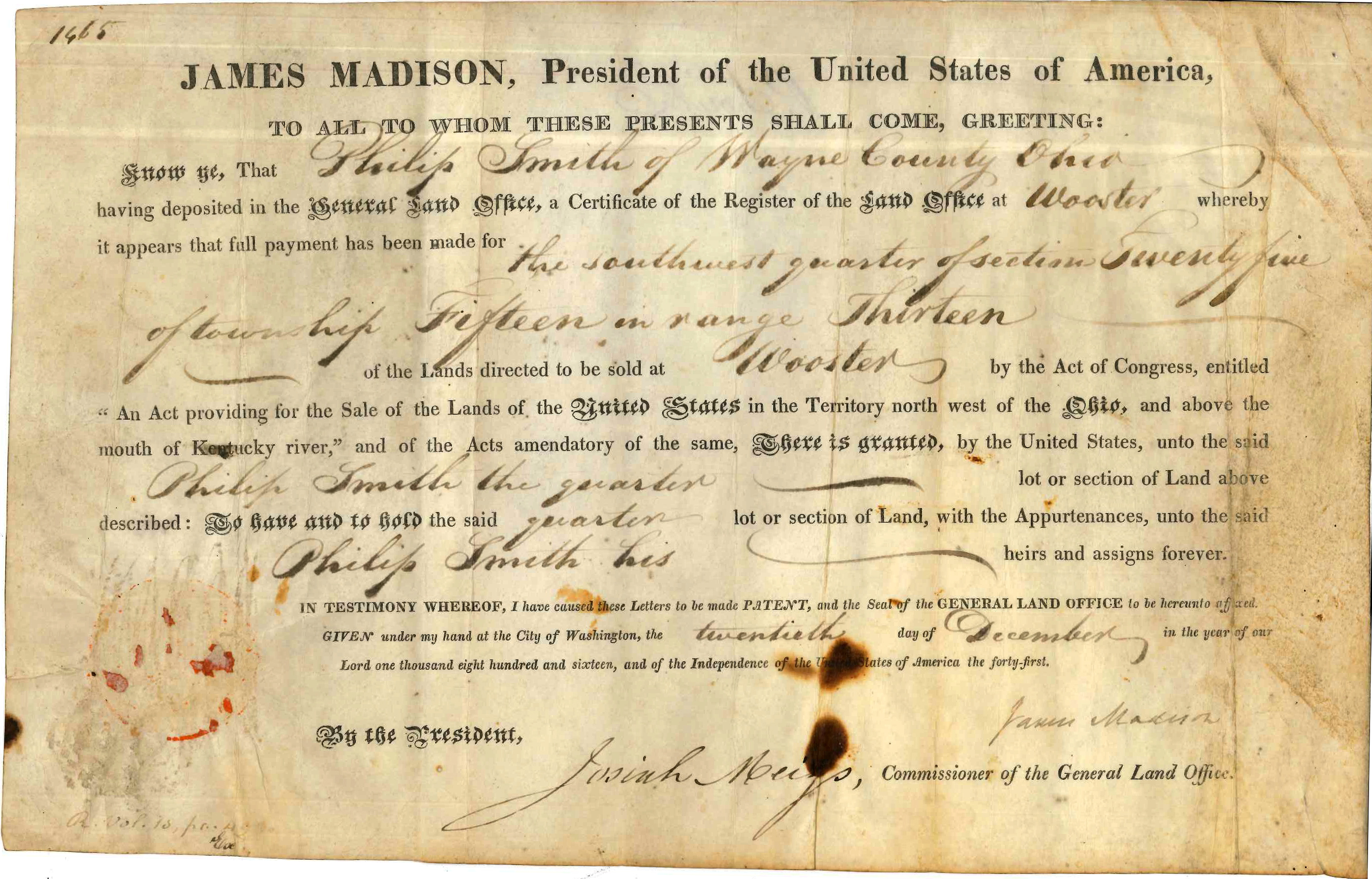
United States Land Patent to Philip Smith for Range 13, Township 15, Section 25, SW QRT in Wayne County, Ohio.
Original land patent held by the Wayne County Historical Society of Ohio.
File history
Click on a date/time to view the file as it appeared at that time.
| Date/Time | Thumbnail | Dimensions | User | Comment | |
|---|---|---|---|---|---|
| current | 08:50, 20 August 2017 | | 2,781 × 1,782 (2.62 MB) | Szimmerman (talk | contribs) | United States Land Patent to Philip Smith for Range 13, Township 15, Section 25, SW QRT in Wayne County, Ohio.<br/> <em>Original land patent held by the Wayne County Historical Society of Ohio.</em> |
You cannot overwrite this file.
File usage
The following page uses this file: