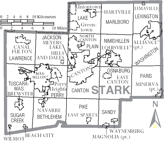
File:2006, Map of Stark County Ohio.PNG
Revision as of 16:24, 9 April 2019 by Volunteer16 (talk | contribs)
No higher resolution available.
2006,_Map_of_Stark_County_Ohio.PNG (624 × 535 pixels, file size: 62 KB, MIME type: image/png)
File history
Click on a date/time to view the file as it appeared at that time.
| Date/Time | Thumbnail | Dimensions | User | Comment | |
|---|---|---|---|---|---|
| current | 16:24, 9 April 2019 | | 624 × 535 (62 KB) | Volunteer16 (talk | contribs) |
You cannot overwrite this file.
File usage
The following file is a duplicate of this file (more details):
- File:Map of Stark County Ohio With Municipal and Township Labels.PNG from Wikimedia Commons
The following page uses this file: