File:PS 185960 map.jpg.jpg
Jump to navigation
Jump to search

Size of this preview: 800 × 600 pixels. Other resolutions: 320 × 240 pixels | 960 × 720 pixels.
Original file (960 × 720 pixels, file size: 59 KB, MIME type: image/jpeg)
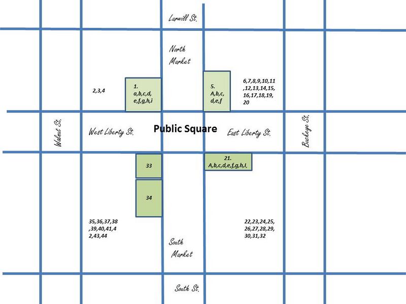
Wooster, Ohio Public Square 1859-1860. Letters and numbers refer to the businesses and offices in text portion of this listing. Numbers and letters within green areas show exact locations. Numbers outside of green areas refer to businesses that had no specific location, except for location on Public Square
File history
Click on a date/time to view the file as it appeared at that time.
| Date/Time | Thumbnail | Dimensions | User | Comment | |
|---|---|---|---|---|---|
| current | 12:40, 13 December 2017 | | 960 × 720 (59 KB) | Volunteer8 (talk | contribs) |
You cannot overwrite this file.
File usage
The following file is a duplicate of this file (more details):
There are no pages that use this file.